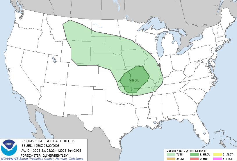
The Storm Prediction Center in Norman, Oklahoma has posted a moderate risk of severe weather across western Iowa. Tornadoes, very large hail, an organized damaging wind threat, and flash flooding is all possible later tonight with this system.
A system across northwest Iowa and Minnesota is currently producing some elevated storms with a large hail threat. This is expected to move out of the area and leave a boundary where it currently is. The atmosphere will heat up this afternoon and increase instability. In combination with dew points in the 50s and 60s and wind shear of 40-50 knots, storms will likely become organized and supercellular as they develop in the mid-afternoon. The primary threats early will be very large hail, some tornadoes (possibly significant), and an isolated damaging wind threat. Later in the evening, the threats are expected to change to a organized damaging winds to 80 MPH and flash flooding. This should move out of the area by the overnight hours.
Stay tuned to the Iowa Weather Network for the latest information!
Henry Luker | Lead Forecaster