Written By: Henry Luker, Lead Forecaster, Iowa Weather Network
Contributor: Jeff Wilcox, Meteorologist-in-Charge, Iowa Weather Network
Iowa has surely seen its share of abnormal weather for this odd start to May, from snow to heavy rain to flooding. But, something we didn’t see as often as usual in April, has yet to show its strength for May, either: Severe weather. But, it looks as of this will change this weekend.
Several models in the past few days have been hinting and have remained consistent to a widespread severe weather outbreak across the Central Plains and the Upper to Middle Mississippi Valley this weekend as a trough that is inching closer from the Western United States. Strong instability will move into the area along the trough, and that combined with impressive shear supportive of creating supercells will easily create a classic severe weather setup for the Midwest. Damaging winds, large hail, and some isolated tornadoes are all possible with this system.
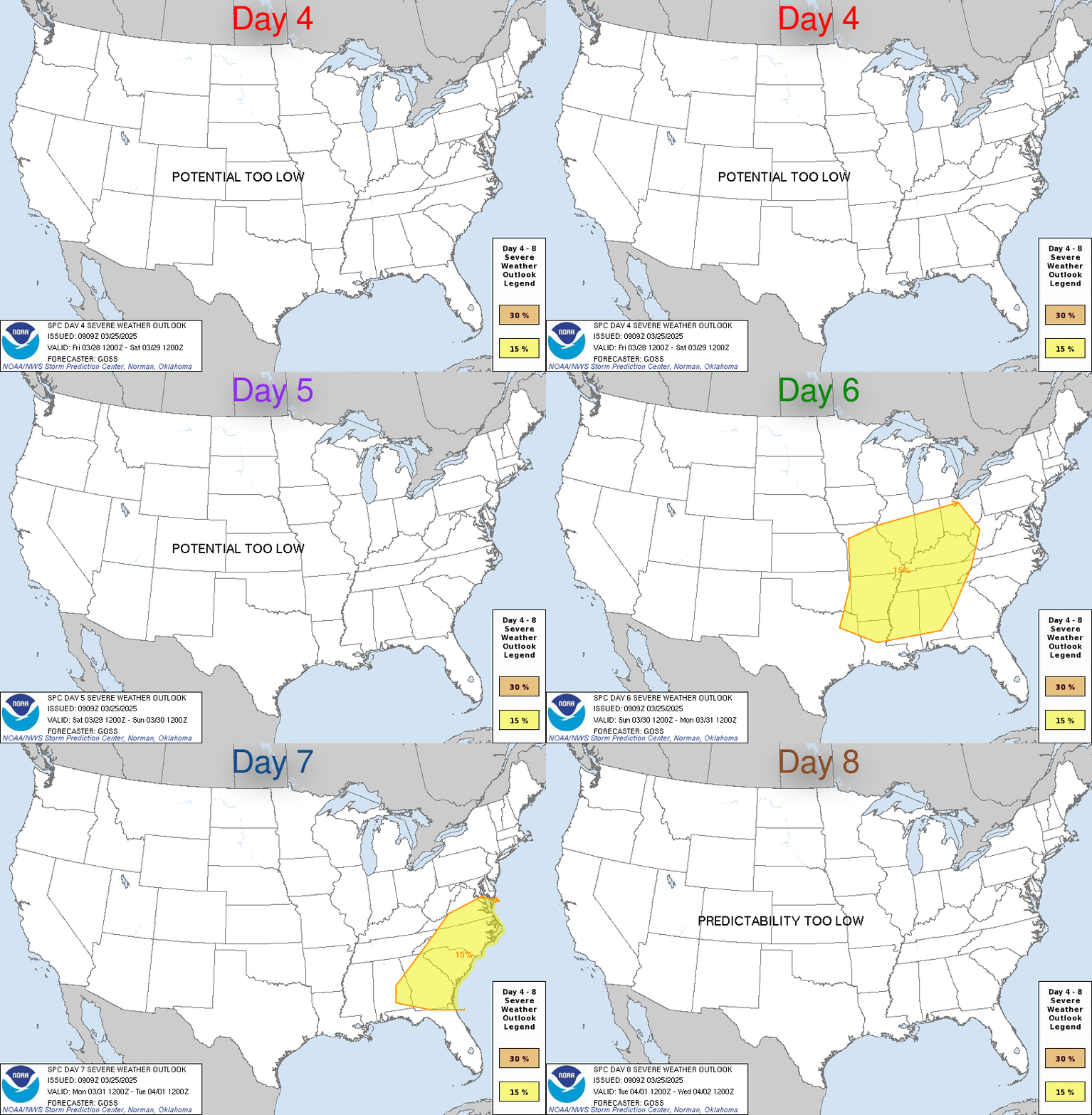
Already, the Storm Prediction Center has posted a slight risk of severe weather for North Dakota into Kansas on Saturday, Iowa into Oklahoma on Sunday, and finally Eastern Iowa/Western Illinois into Oklahoma and far northern Texas on Monday. The Storm Prediction Center posting a slight risk of severe weather (30%) this far out is not something that happens often. All of the available ingredients for severe weather must come together and give forecasters enough confidence to post a risk, and in this case, that has happened, whereas strong instability combined with shear has been consistent with models.
Stay with the Iowa Weather Blog/IWN for the latest updates on this situation as well as possible Live Video Coverage during this event.