…No Video Today…
NOTE: On behalf of the Iowa Weather Network, our hearts go out to those affected by the unfortunate tragedy in Boston.

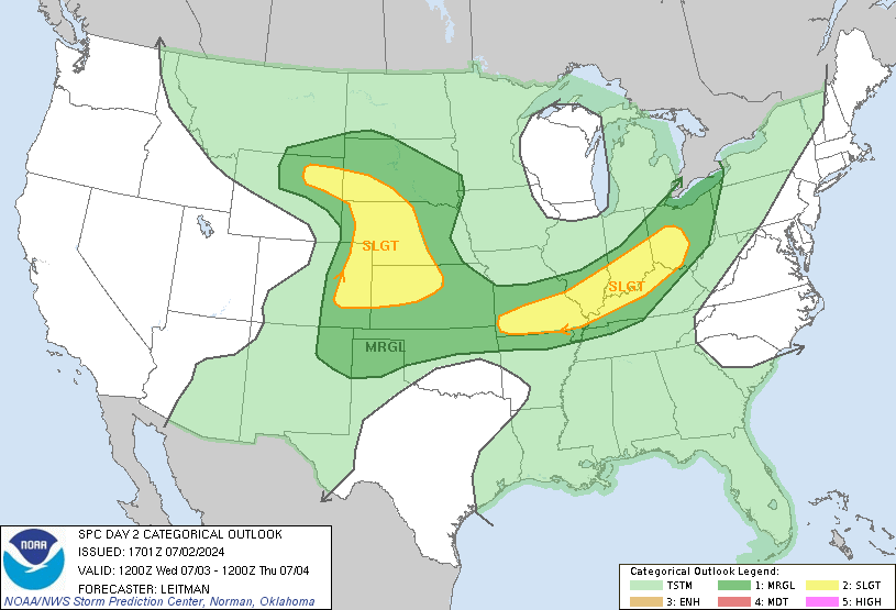
SEVERE TOMORROW: The Storm Prediction Center in Norman, Oklahoma has highlighted a Slight Risk of Severe Weather for South Central and Southeastern Iowa tomorrow, with a moderate risk farther south. Severe weather for our area seems to be limited at this time with the majority of the severe weather in Oklahoma and Kansas. A mesoscale convective system looks to develop along a low level jet across Iowa with the primary threat being damaging winds and heavy rain, and perhaps some marginally severe hail. The ground still hasn’t saturated all of the rain from the recent rain we have gotten and it is very sensitive to anymore rain we will receive. Flash Flooding and River Flooding are the main concerns.

WARM, COLD, HOT: After temperatures returning back to normal yesterday, temperatures today into Wednesday will fall a bit below normal with high’s in the mid to upper 40’s Northwest to the low 50’s Southeast and low’s being in the low 30’s North to the mid 40’s Southwest. By Thursday night, temperatures will plummet with low’s Thursday night in the mid 20’s Northwest to the low 30’s South. High’s will be not too warmer on Friday with high’s only reaching the mid 30’s Northwest to the mid 40’s Southeast. Low’s on Friday Night will even be more chillier, with low’s in the upper teens to the low 20’s Northwest to barely making the 30 degree mark South. Temperatures will finally be back to normal this weekend holding steady in the mid 50’s North to nearly 60 Southeast.

FORGET THE DROUGHT!: A long, prolonged period of wet weather is anticipated over Wednesday through Thursday Night. Total precipitation across the area will be generally from 1 and a half inch to 2 inches across Iowa with the heaviest totals across EC and SE Iowa. Where all of this exactly is will be very important to future river levels. The soil and many rivers are still soaking in the recent rains from the last couple of days and will be easily sensitive to anymore rain received. Please monitor later forecasts if you live in these areas.

POSSIBLE SNOW: With cold temperatures coming into the area at the end of the week along with plentiful precipitation, snow will be possible through this period. Wednesday Night a mix is possible in Northwestern Iowa while the rest of the week light to moderate snow will be possible. The NWS NCEP Weather Prediction Center in College Park, Maryland has already outlined a slight chance for 4″ or more of snow for Northwestern Iowa on Thursday.